Lago di Sorapis Hike: Complete Trail Guide
A field-tested guide to lago di sorapis hike: complete trail guide, with honest logistics, current planning advice, and the small details that make a Dolomites trip run smoothly.
Reviewed by the Cortina Compass desk
Last verified on foot: July 2026 How we research
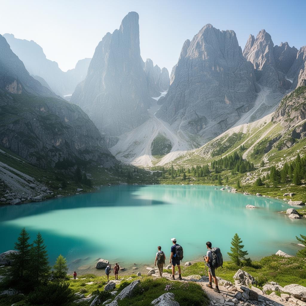
Sorapis is the lake that fills your feed every July, and it's also the walk I've seen ruined most often — by trainers, by a late start, by people who read "310 metres of ascent" and assumed easy. The colour is real. The trail deserves more respect than the photos suggest.
What this walk really is
The walk from Passo Tre Croci is long rather than steep — roughly six kilometres each way with only three hundred metres of net gain, spread over undulating ground that gives some of it back and takes it again. That profile is why people underestimate it.
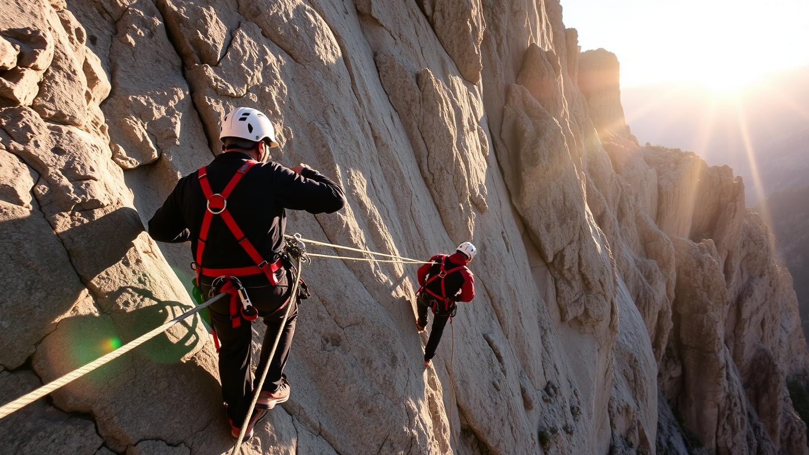
The character changes about forty minutes in. Forest and easy contouring give way to a rockier shelf, then to the three cabled sections that get the most attention. None of them is via ferrata. All three are places where a slip matters.
The four moments that make or break this walk
Forcella Grande saddle
First real payoff, a col where the trail tips down toward the Sorapis basin.
The three cabled ledges
Short but committing steps above drops — grip well before trusting the wire.
Shoreline viewpoint at the outflow
The single best angle for the milky turquoise colour, especially past 11am.
Trail 216 high variant
A quieter, higher return leg that avoids the afternoon bottleneck on 215.
The numbers, and why they mislead
Four and a half hours of walking is a fair figure if you keep moving. Add three quarters of an hour at the lake, which nobody skips, and you have a five-and-a-half-hour day before you've stopped for a coffee at the pass.
Trail 215, ledge by ledge
From the car park the path climbs gently through pine, crosses a spring where I always fill a bottle, and reaches Forcella Grande after about an hour. That saddle is the first honest view down into the basin.
After the forcella the trail tips downhill and the cabled ledges start. They're short — a few metres each — but they run above real drops on rock that goes greasy after rain. Take your hand off the wire only when both feet are planted. The last fifteen minutes drop through scree to the outflow, and the lake appears all at once.
The lake, and when it looks like the pictures
The best angle is from the outflow at the eastern end, looking back at the Sorapis wall. The colour peaks between eleven and two, when direct sun is on the water; after that the north wall throws shadow across half the basin and the turquoise goes grey-green. Cloudy day, no colour — that's just physics, not bad luck.
Where things go wrong
Snow lingers on the shaded traverse into early July more often than people expect, and that's precisely where the cables are. Rain makes the ledges slick within minutes. If a storm is forecast, the sensible plan is Federa instead, not an earlier start.
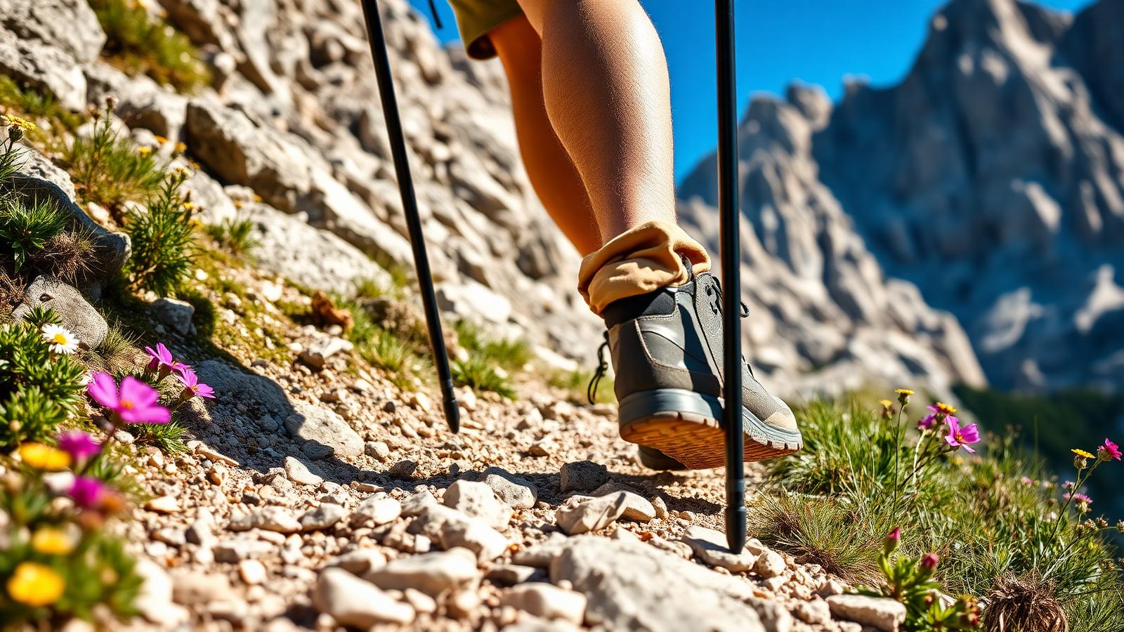
Most rescues on this trail happen on wet rock in inadequate footwear. Boots with a real edge, and hands free — poles stowed — through the cabled bits.
Safety note
Skip exposed ground if storms are forecast. Deciding not to continue is a normal part of walking here, not a failure.
Two visits, two very different days
The first time I walked in, I arrived at half past nine and the lake was still in shade. Beautiful, but not the picture I'd come for. The second time I left the car at half seven, took the higher 216 variant on the way back and passed maybe two hundred people heading in the other direction at midday. Same trail, entirely different day.
My tip
Park at Passo Tre Croci by 07:30 (the lot fills before 09:00 in July-August). Walk in via trail 215, out via the higher variant 216 for a loop that avoids the worst of the return traffic.
Shooting a lake everyone has already shot
The temptation is to stand where everyone stands, on the shoreline gravel, and shoot straight across. It's fine. The better frames are from slightly above, on the moraine to the left of the outflow, where you get the shore curve leading into the wall. Keep off the fragile shallows — the vegetation there takes years to come back.
Shorter and gentler versions
If the cables put you off, walk to Forcella Grande and turn round. You get an hour of easy climbing, the view into the cirque and none of the exposure. Families with small children are honestly better served by Lago di Federa, which has a hut and no drops.
Fit children over ten who don't mind exposure manage it. Below that age the cabled ledges aren't worth the anxiety.
Do not attempt this in trainers. Trail 215 has three cabled ledges above meaningful drops, and slick rock after morning rain is where most rescues here begin.
€7 for the car park versus €15 for a day bus pass — take the bus if there are two of you and you'd rather not set an alarm for the parking.
The lake sits at 1,925m in a cirque under the Sorapis glacier; the milky turquoise is finest under direct sun between 11:00 and 14:00, then dulls as afternoon shadow crosses the amphitheatre.
Why the lake changes colour
Lago di Sorapis owes its milky turquoise to rock flour — fine glacial silt ground off the Sorapis massif by the small glacier feeding the basin. Suspended particles scatter light, which is why the colour intensifies under direct midday sun and fades to grey-green once the basin falls into shadow.
The 1985 debris flow and the current trail
The lower section of trail 215 was rerouted after slope movement in the 1980s reshaped part of the approach gully; the cabled ledges date from that rebuild rather than the original path, which is one reason the exposure feels newer and more deliberate than on older Dolomite trails.
Frequently asked questions
Can I swim in Lago di Sorapis?
No. The lake is inside a protected zone, the water sits around 5°C year-round, and the shore is signed off-limits. Swimming is fined and, more importantly, dangerous.
Is Lago di Sorapis suitable for children?
Fit children over about 10 who are comfortable with exposure manage it. Younger children should not do the cabled ledges — take them to Lago di Federa instead.
Do I need the shuttle from Cortina?
The Passo Tre Croci lot fills by 09:00 in high season and there is no overflow. The 30/31 SAD bus from Cortina bus station drops you 30m from the trailhead every 45-90 min.
How long does the classic photo window last?
About three hours — from roughly 11:00 when direct sun hits the water, to 14:00 when the north wall throws shadow across half the basin.
Are dogs allowed on the Sorapis trail?
Yes on lead, but the three cabled traverses are dangerous for dogs and the lakeshore itself is off-limits to pets in season. Most locals leave dogs behind for this one.
Go early, wear proper boots, and give yourself an hour by the water rather than fifteen minutes. It's a good walk that punishes people who treat it as a photo errand.
Sources & further reading
Plan the next piece
Build a trip, not a checklist.
Pair this guide with a realistic itinerary and a place to stay near the activities you care about most.