Best Hikes Around Cortina d'Ampezzo
A field-tested guide to best hikes around cortina d'ampezzo, with honest logistics, current planning advice, and the small details that make a Dolomites trip run smoothly.
Reviewed by the Cortina Compass desk
Last verified on foot: June 2026 How we research
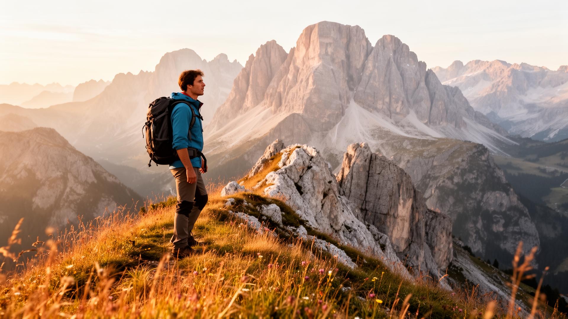
There's no single best hike in Cortina, and anyone who tells you otherwise is selling something. What there is: five distinct massifs, each with its own weather habit, its own crowd pattern and its own reward. Choose the mountain first and the trail second, and the whole week works better.
How I'd pick a trail here
I plan Cortina hikes backwards. Not "which trail is famous" but "where will the cloud be at nine, and where do I want to be sitting at one". The Tofane hold morning cloud longer than anywhere else in the valley; Croda da Lago tends to clear first. That single habit decides more of my days than any trail rating.
The second question is transport. Some walks start at a lift, some at a paid car park that fills before breakfast, some at a bus stop with a ninety-minute gap in the timetable. Getting that wrong costs more time than any climb.
How to choose your massif for the day
Cinque Torri
The gentlest introduction to Dolomite geology — trench galleries you can walk in trainers.
Lago di Sorapis
The one everyone photographs; go early or don't bother with the colour.
Croda da Lago
For walkers who want the reflecting lake without the queue at the trailhead.
Rifugio Nuvolau ridge
The best 360° panorama reachable on foot from a chairlift base.
What a Cortina hiking day actually costs you
Most of these routes sit between three and six hours of moving time. The number that matters isn't distance, though — it's ascent. Nine hundred metres of climbing in thin dry air with a camera round your neck is a different animal from nine hundred metres at home.
The five massifs, honestly compared
Cinque Torri is the softest landing: chairlift, trenches, gravel paths, done in three hours with a decent lunch inside it. Sorapis is the one everyone photographs and the one that catches people out, because it's longer than the map suggests and has cabled ledges. Croda da Lago gives you a reflecting lake without the trailhead scrum. Nuvolau puts you on a ridge with the widest view you can reach on foot. Tofana di Rozes is the day for people who actually want to be tired.
Tre Cime is technically Auronzo's, not ours, but you'll go anyway. Budget the toll, the drive and the early alarm before you decide it's worth it.
Where the walking pays off
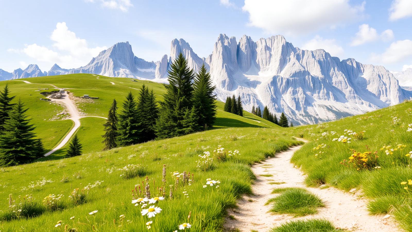
The views I keep coming back to aren't summits. They're the moment on the Nuvolau ridge when the Marmolada appears behind you, the shelf above Federa where the larches thin out, and the second saddle on the Sorapis approach where the basin finally shows itself. All three take an hour or less of climbing.
Season, snow and the bits people get wrong
Anything above 2,200 metres is generally walkable from late June. North-facing traverses on Sorapis and Croda da Lago keep snow into early July in most years, and that snow is what turns an easy path into a rescue call. Rifugi run roughly mid-June to mid-September; check each hut individually rather than trusting a blanket season date.
Afternoon storms build fast here in July and August. If you're planning a ridge, be off it by two — that's the local rule, not a cautious tourist rule.
Safety note
Skip exposed ground if storms are forecast. Deciding not to continue is a normal part of walking here, not a failure.
What I've learned booking these days badly
The mistake I made in my first summer was stacking two big walks back to back. Second-day legs on scree aren't fun, and I spent the third day sitting in town with sore knees while the weather was perfect. Now I alternate: a long day, then a valley day, then whatever the forecast allows.
My tip
Ride the first Faloria or Freccia lift on a hot day: you skip 900m of forest, land in high pasture by 9am, and are eating strudel before the coach parks fill.
Getting decent pictures without ruining the walk
Morning side-light gives the towers shape. By eleven the pale rock is flat and everything looks like a snapshot. If your priority is pictures, that argues for early starts on east-facing walls and late afternoons on the western ones.
If the big-name trail is full
When the popular trailheads are full — and Tre Croci and Bai de Dones do fill — the valley floor still has good walking. The Ru de Ra Vales water trail, the old railway path towards Cimabanche and the woods below Pocol all stay quiet on a busy August Saturday.
Cinque Torri and the Federa approach both work with children who can walk three hours. Skip Sorapis until they're comfortable clipping past a drop.
Do not treat a cable car as a guaranteed ride home. Note the final descent before setting off.
A Dolomitibus day pass at €15 usually beats paying for two separate car parks, and it lets you finish somewhere other than where you started.
The Ampezzo Valley is a hub of separate massifs (Tofane, Cristallo, Sorapis, Croda da Lago, Cinque Torri), and each has its own weather habit. Pick your massif first, then your trail.
Reading the Ampezzo amphitheatre
Cortina sits inside a bowl ringed by five distinct massifs — Tofane to the west, Cristallo and Sorapis to the north-east, Croda da Lago and the Cinque Torri group to the south. Each has its own microclimate: the Tofane hold cloud longest in the morning, while Croda da Lago often clears first.
Locals plan the week around this rather than picking a single 'best' hike; a north-facing wall stays in shade until 10am, which matters for photography as much as for temperature.
Frequently asked questions
Which single hike should a first-time visitor pick?
Cinque Torri from Rifugio Scoiattoli — chairlift access, First-World-War trenches, and 360° views of Tofane and Averau in about three unhurried hours.
Are the trails busy?
Sorapis, Tre Cime and Croda da Lago are genuinely crowded from 10am to 3pm in July-August. Everywhere else stays manageable if you start before 8.
Do I need CAI membership?
No, but a CAI card gives you a ~40% discount on rifugio dormitory beds and free mountain rescue insurance — worth it for a week of hut-to-hut walking.
When does the hiking season really start?
Late June for anything above 2,200m. Sorapis and Croda da Lago hold snow on their north traverses into early July most years.
Best hike if the summits are in cloud?
The Cinque Torri open-air museum stays photogenic and safe in low cloud, and the shortened Sorapis out-and-back keeps you in forest until the last kilometre.
Pick the massif, check the hut, start early. That's most of it. The rest is walking, and Cortina makes that part easy.
Sources & further reading
Plan the next piece
Build a trip, not a checklist.
Pair this guide with a realistic itinerary and a place to stay near the activities you care about most.