Tre Cime di Lavaredo Day Trip From Cortina
A field-tested guide to tre cime di lavaredo day trip from cortina, with honest logistics, current planning advice, and the small details that make a Dolomites trip run smoothly.
Reviewed by the Cortina Compass desk
Last verified on foot: July 2026 How we research
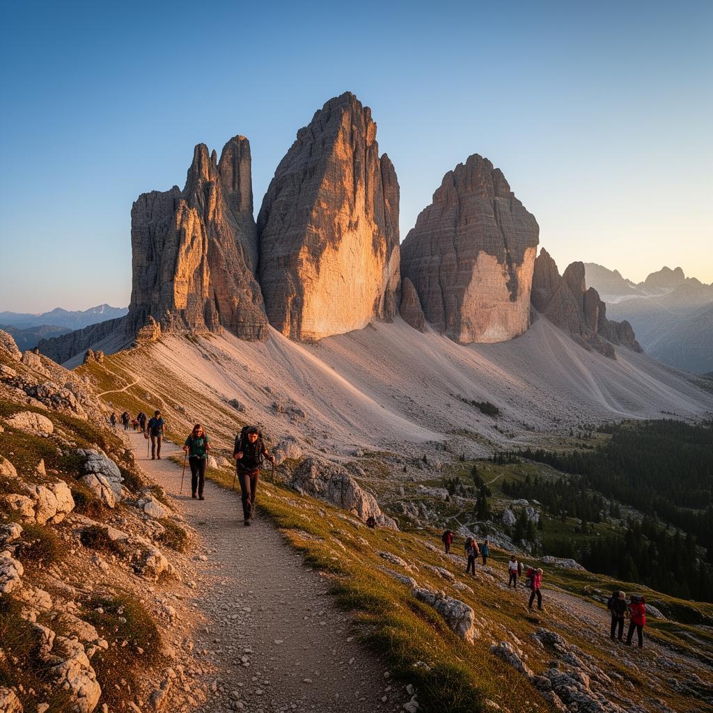
Tre Cime is the most famous thing you can see from a Cortina base and, from here, mostly a logistics problem. Fifty-five minutes of driving, a €30 toll, a car park that shuts when it's full, and then a loop that is genuinely one of the great walks in the Alps. Solve the first three and the fourth takes care of itself.
Getting there is the hard part
Everything about this day is decided before you start walking. The toll road up from Misurina takes €30 per car and closes when the nine-hundred-space lot at Rifugio Auronzo is full — which, on a July or August morning, has meant before half past eight for three seasons now.
You've got three options: leave Cortina by seven, take the Cortina Express shuttle, or walk up from Lago di Antorno and add six hundred metres of forest before the good bit starts. I've done all three. The first two are better.
The stops worth the extra fifteen minutes
Forcella Lavaredo
The saddle where the three towers finally reveal their full north faces.
Rifugio Locatelli terrace
The definitive framed shot, best in late afternoon light on the north walls.
Lago dei Piani
A quiet detour pond that most of the loop crowd skips entirely.
Cengia degli Alpini
A short balcony path with views back toward Cadini di Misurina.
The loop in numbers
Just under ten kilometres, about 410 metres of cumulative climb, three and a half to four and a half hours depending on how often you stop. It's a walk, not a climb — but at 2,300 metres with wind coming over the saddles, it feels longer than the profile suggests.
Anti-clockwise, and why
Take it anti-clockwise. From Auronzo the path contours easily to Rifugio Lavaredo, then climbs to the Forcella Lavaredo saddle where the north faces finally swing into view. Doing it this way, the mountain reveals itself; go the other way and you see the best of it in the first twenty minutes and spend the rest walking away.
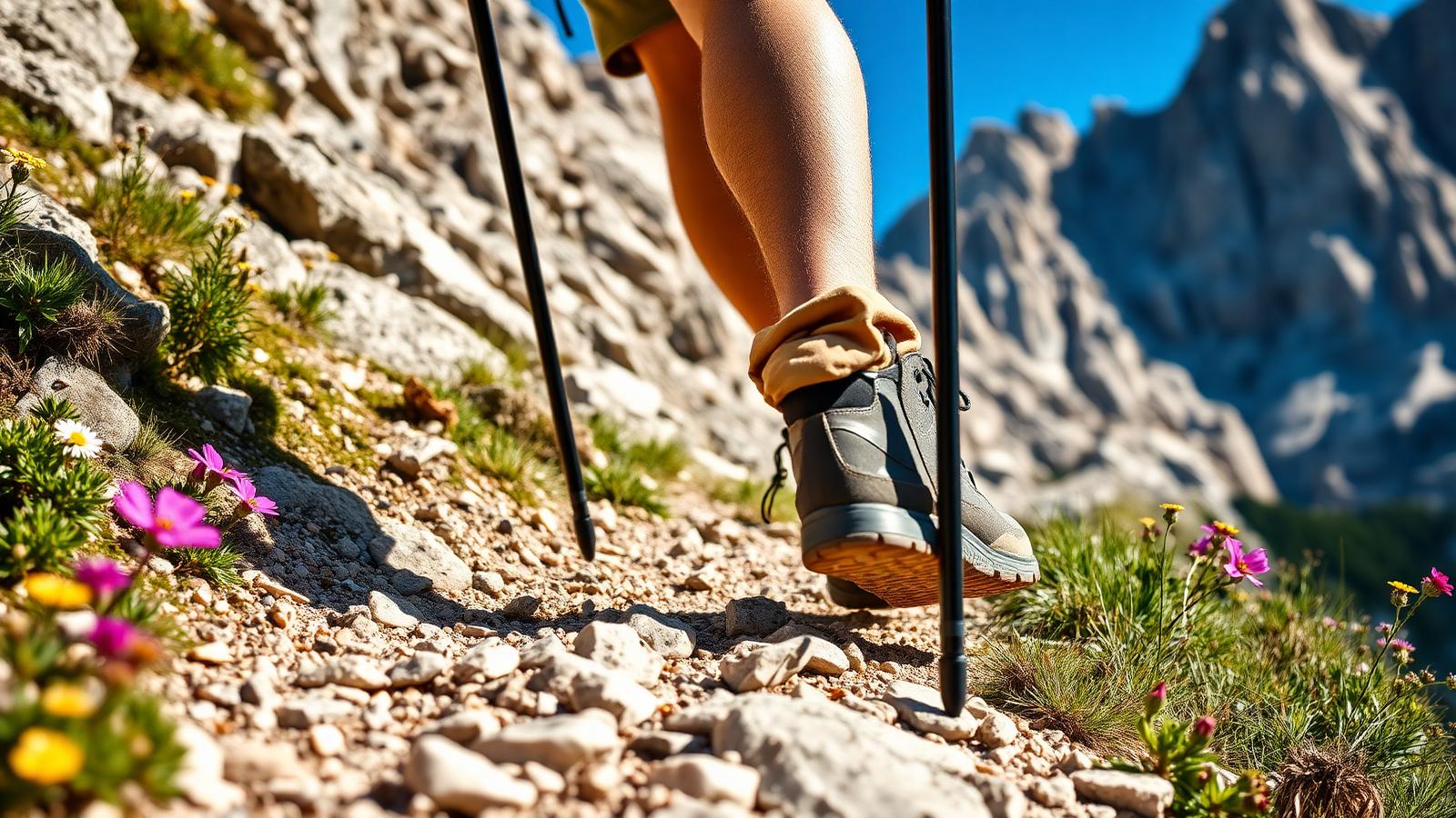
From the saddle it's an easy traverse to Locatelli, then a long, exposed circuit round the back of the group with the Cadini spires appearing to the south. The descent below the saddle is loose in one short section — the only part where I'd want poles.
The north faces
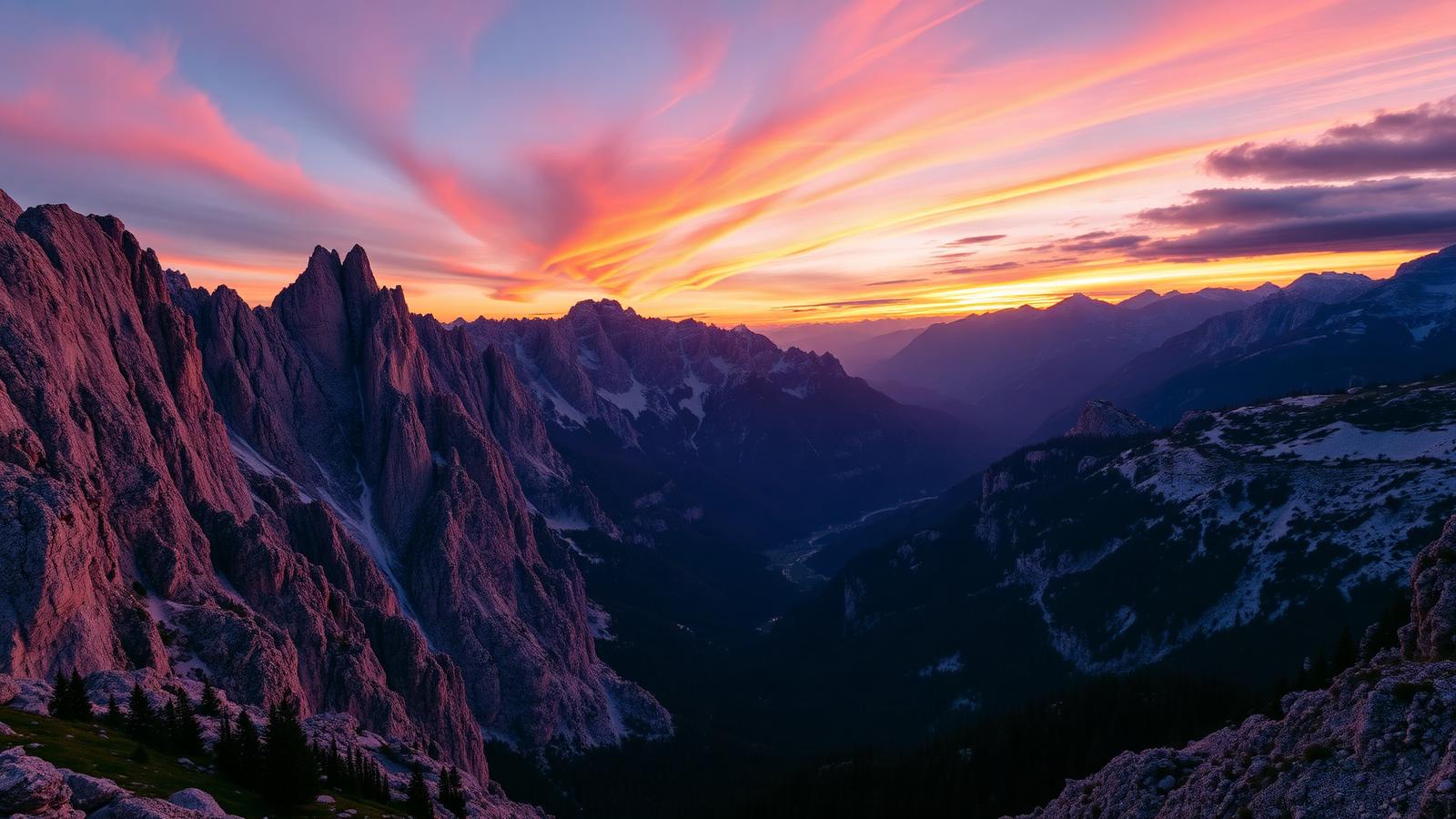
Rifugio Locatelli is the frame you came for, and yes, there will be forty people making it at the same time. Walk five minutes past the hut onto the small rise beyond and the crowd thins immediately. The light on the north walls is best mid-to-late afternoon, which conveniently is when the morning coach traffic has gone home.
Wind, weather and the last shuttle
The plateau is exposed and windy even in August; I've been cold up there in shorts weather down in Cortina. The road opens roughly from late May to late October depending on snow, and the last shuttle down leaves Auronzo at 18:15 in season.
There's no shelter on the far side of the loop between Locatelli and Auronzo. If a storm is building, cut back over Forcella Lavaredo rather than committing to the full circuit.
Safety note
Skip exposed ground if storms are forecast. Deciding not to continue is a normal part of walking here, not a failure.
The day I got the timing right
The best version of this day I've had started late, not early: I left Cortina at two, parked at four when the lot had emptied out, and walked the loop in evening light with maybe thirty people on the whole circuit. Sunset on the north walls, headtorch for the last twenty minutes, home by nine. Not for everyone, but it beat every morning attempt.
My tip
Walk the loop anti-clockwise (Auronzo → Lavaredo → Locatelli → Auronzo). The north face reveals itself gradually rather than as an anti-climax, and afternoon light on the north wall from Rifugio Locatelli is the frame most people came for.
Working around the crowd
The three peaks from Locatelli is the picture, and it's been taken a million times. What hasn't is the Cadini group from the southern arc of the loop in low sun — most people have already left by then. Bring something long; the classic Cadini viewpoint compresses beautifully.
Doing less, or doing it differently
If the full loop is too much, the out-and-back to Rifugio Lavaredo is two and a half kilometres each way, almost flat, and still gives you the peaks head-on. Sleeping at Locatelli is the other move — book on refuges.io months ahead, and you get the walls to yourself at dawn.
Confident eight-year-olds do the full loop in five or six hours. Younger ones are happier turning round at Lavaredo.
Do not treat a cable car as a guaranteed ride home. Note the final descent before setting off.
The €30 toll split between four is fine; alone, the shuttle at €30 return with no parking stress is the better deal.
The Auronzo-Rifugio Auronzo toll road (SR48-bis) costs €30 per car and closes when the 900-space lot fills, usually by 08:30 in July-August. The alternative is a 5:15 alarm or the Cortina Express Tre Cime shuttle.
Why the north walls are the real prize
The Tre Cime's south sides, visible from the toll road, are relatively gentle scree slopes; it's the sheer 500-metre north faces, hidden from the car park and only revealed at Forcella Lavaredo, that made this massif famous among 1930s alpinists and still define the postcard view from Locatelli.
Frequently asked questions
Is the €30 toll road worth it?
Yes if you value time and altitude. The alternative — walking up from Lago di Antorno — adds 600 m of forest climb before the interesting part even starts.
What time should I arrive at Rifugio Auronzo?
By 08:00 in high summer. The 900-space lot has been closing before 09:00 on August weekends for three seasons running.
Can I do Tre Cime without a car?
Yes. Cortina Express runs a dedicated Tre Cime shuttle from Cortina bus station three times a day in July-August (€30 return, book the day before).
Is the Tre Cime loop suitable for children?
Confident walkers aged 8+ manage it in 5-6 hours. Under-8s do better with the shorter out-and-back to Rifugio Lavaredo (2.5 km each way, mostly flat).
Can I sleep at a Tre Cime rifugio?
Yes at Rifugio Locatelli and Auronzo — book on refuges.io three months ahead for July-August. Locatelli's sunrise view of the north walls is worth the €65 dormitory bed.
It's the most photographed skyline in the Dolomites and it still holds up in person. Just treat the drive and the parking as the real planning, and the walking as the reward.
Sources & further reading
Plan the next piece
Build a trip, not a checklist.
Pair this guide with a realistic itinerary and a place to stay near the activities you care about most.