Hiking to Rifugio Nuvolau and Averau
A field-tested guide to hiking to rifugio nuvolau and averau, with honest logistics, current planning advice, and the small details that make a Dolomites trip run smoothly.
Reviewed by the Cortina Compass desk
Last verified on foot: June 2026 How we research
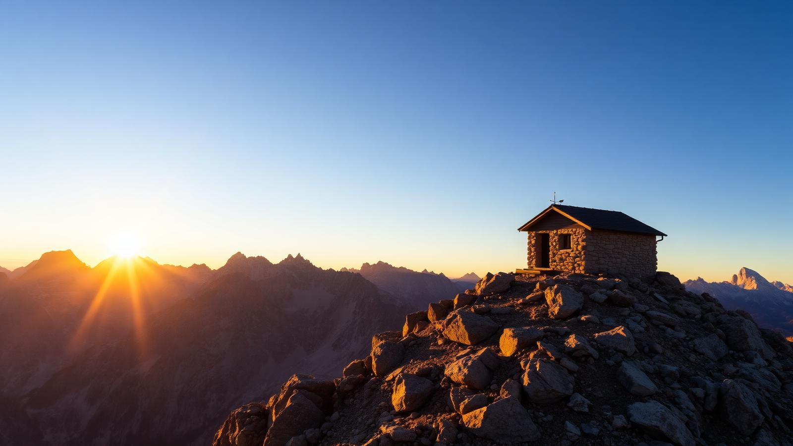
Nuvolau is the oldest refuge in the Dolomites and it's balanced on a rock summit at 2,575 metres with nothing around it. If a visitor has one clear evening and asks where to go, this is what I tell them, every time.
Two huts, one ridge
From the top of the Cinque Torri chairlift, a broad path crosses pasture and rubble to Rifugio Averau at 2,413 metres, then a steeper switchbacked climb takes you to Nuvolau on its summit block. Two huts, both good, about ninety minutes of walking between the lift and the top.
The oldest hut in the Dolomites, and why it earns the detour
Rifugio Nuvolau (1883)
The oldest hut in the Dolomites, with a 360° terrace view unmatched at this altitude.
Rifugio Averau's casunziei
White-tablecloth alpine dining at 2,413m, worth the detour alone.
The final cabled ridge
Exposed but not technical — the last thirty minutes that separate casual walkers from committed ones.
Dawn terrace at Nuvolau
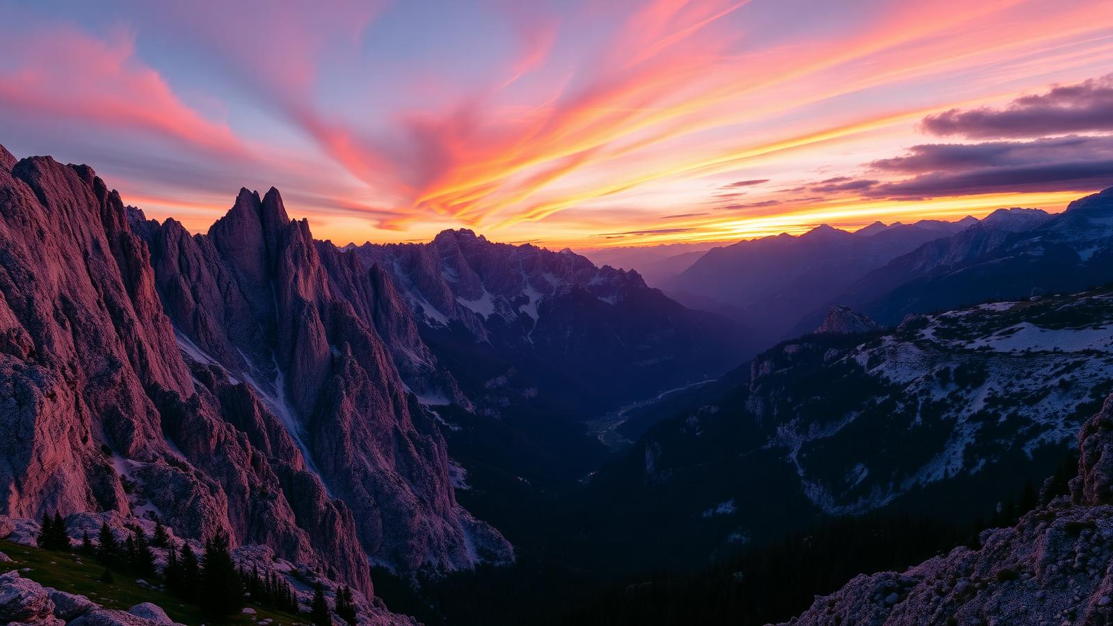
Antelao, Sorapis and Pelmo turning pink together at 05:45, the reason to sleep up here.
The climb from the lift
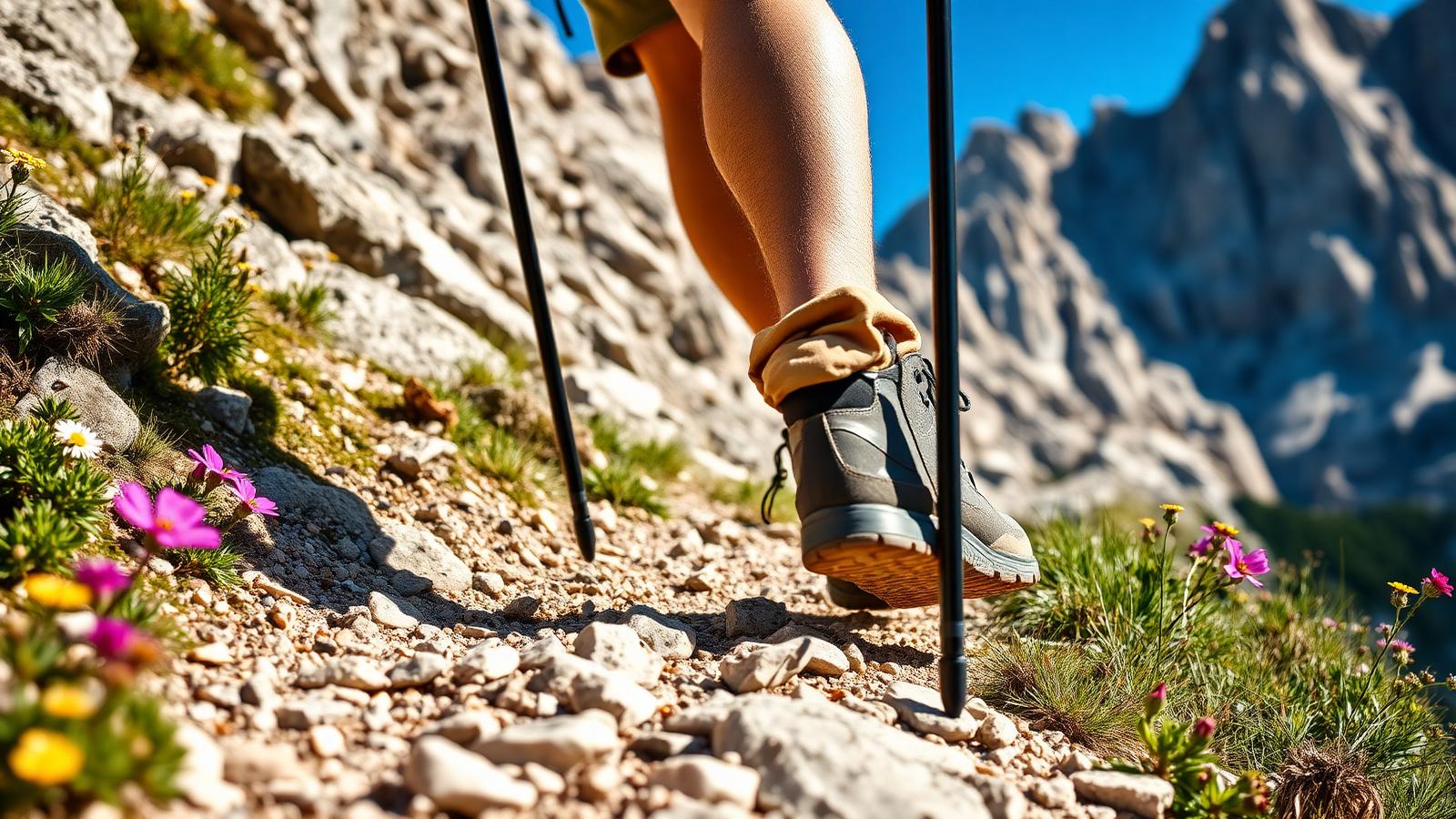
Around 320 metres of climbing from the lift station and roughly five kilometres round trip. It's short, but the final section to Nuvolau is properly steep and loose in places — this isn't a stroll in the last twenty minutes.
Scoiattoli to Averau to the summit
Follow the signs from Scoiattoli towards Averau; the path is obvious and the gradient easy. At Averau either eat first or push on — I'd push on and eat on the way back, because the summit is better when it's quiet.
The climb to Nuvolau starts just above the Averau junction and zigzags up scree and rock steps. There's one short section with a cable that most people won't need. The hut appears suddenly, right on the edge.
The 360 at the top
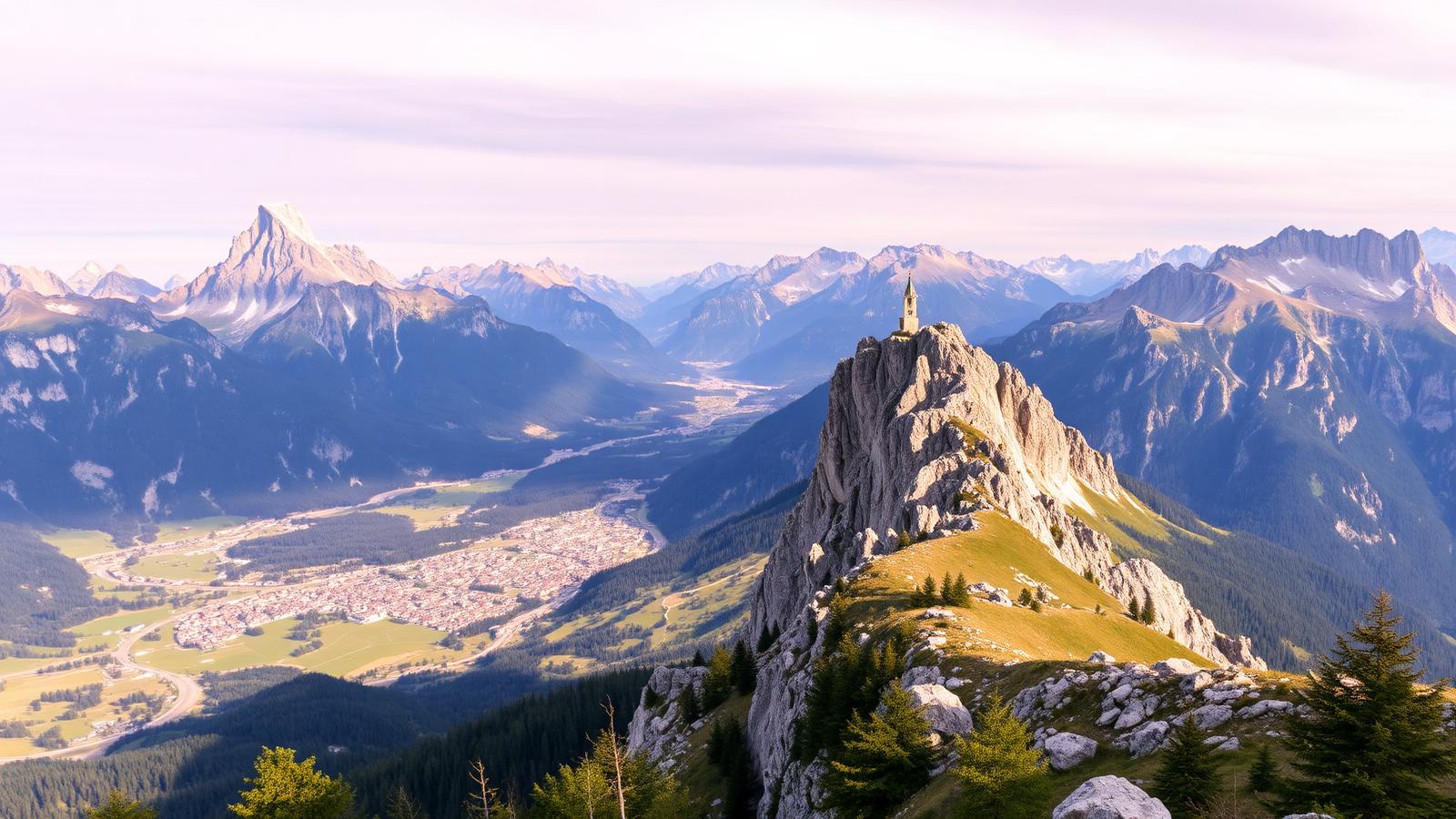
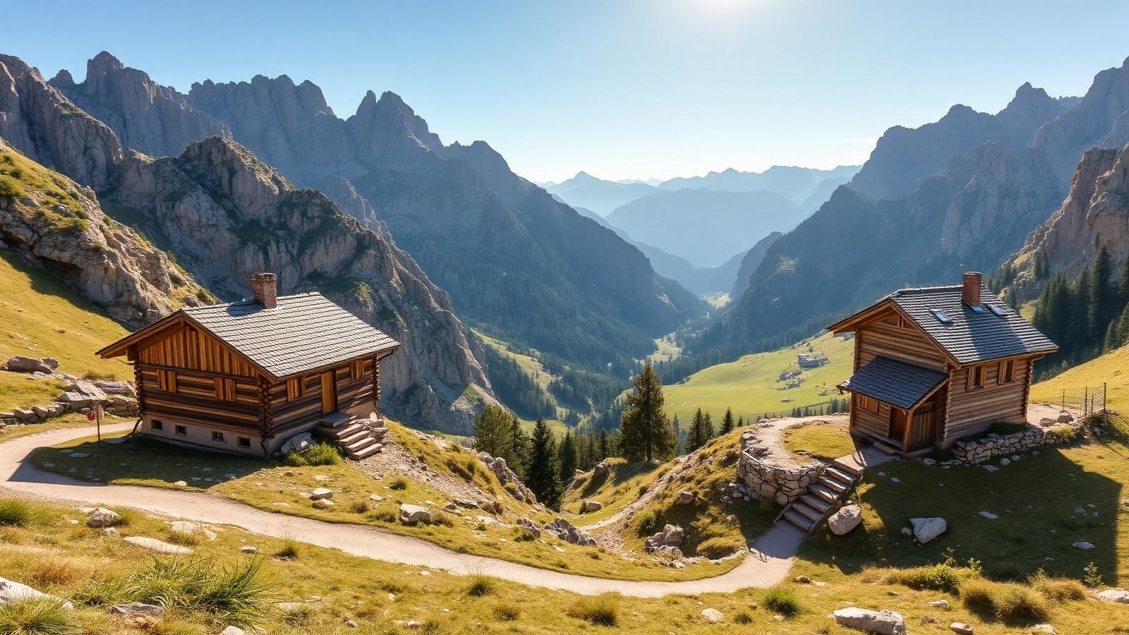
The top is a genuine 360. Tofane, Averau's own tower, the Cinque Torri from above, Civetta, Pelmo, Marmolada, the Sella group. It's the widest view I know of that you can reach on foot from a chairlift in under two hours, and there's a terrace to sit on while you take it in.
Wind and the last chairlift
There is no shelter on the summit block other than the hut itself, and the wind up there is a different proposition from the valley — bring a layer even on a warm evening. The chairlift usually stops running around five, which is the constraint that shapes the whole day.
The descent from Nuvolau in poor light on loose rock deserves care. If you're staying for sunset, carry a torch and know that you're walking down, not riding.
Safety note
Skip exposed ground if storms are forecast. Deciding not to continue is a normal part of walking here, not a failure.
An evening up there
I stayed the night at Nuvolau one September. Dinner with about fifteen other people, then everyone outside at eight with the Marmolada going pink and nobody saying much. In the morning, cloud filling the valleys with the summits above it. It cost about the same as a mediocre hotel room in town.
My tip
Sleep at Rifugio Nuvolau — 27 beds only, no day-tripper crowds after 18:00, and the sunrise view of Antelao and Sorapis turning pink at 05:45 is one of the great Dolomites moments.
The best sunset within reach on foot
This is the enrosadira spot. The alpenglow lasts minutes rather than an hour, so be in position ten minutes early with the composition already chosen. Best foreground is the hut itself against the drop — resist the temptation to shoot only outwards.
The easier half
Averau alone is a comfortable hour from the lift on easy ground and has arguably the better kitchen of the two. If the summit climb looks too much, that's a perfectly good day and nobody will know the difference from the photos.
Averau is fine with children. The final climb to Nuvolau is loose and steep enough that I'd want them confident on rough ground first.
Do not treat a cable car as a guaranteed ride home. Note the final descent before setting off.
A dormitory bed with half board at Nuvolau costs less than a mid-range dinner in town and gives you sunset and sunrise for free.
From Passo Giau, trail 452 climbs 675 m in 2.5 km to Rifugio Averau, then the exposed ridge 439 links to Nuvolau in 30 more minutes. From Cinque Torri (Scoiattoli chairlift), 439 traverses in reverse in 1h45.
Built in 1883, still the best seat in the range
Rifugio Nuvolau predates almost every other hut in the Dolomites and owes its enduring reputation to geography rather than comfort — its summit-top position at 2,575m is one of very few spots where Tofana, Marmolada, Civetta, Pelmo and Sorapis are all visible from the same terrace chair.
Frequently asked questions
Which approach is easier?
From Cinque Torri via the Scoiattoli chairlift — the chairlift takes 220 m out of the climb and the ridge traverse to Nuvolau is more moderate than the Giau ascent.
Is the ridge to Nuvolau dangerous?
Exposed but cabled. Not technical, but not for anyone uncomfortable with mild scrambling and a genuine drop on both sides.
Book Rifugio Nuvolau in advance?
Yes — refuges.io opens for the summer around mid-January. Nuvolau sells out for July within 5-7 days.
What's the food at Rifugio Averau?
Deliberately excellent. White tablecloths, hand-pressed casunziei, a serious wine list. €35-45 for a proper primo-secondo lunch at 2,413 m.
Sunrise or sunset from Nuvolau?
Sunrise — the enrosadira hits Sorapis, Antelao and Pelmo simultaneously from the terrace. Sunset is fine but the sun sets behind Averau, cutting the show short.
Ride up, climb the last stretch, and stay longer than the lift timetable really allows. Better still, book a bed and don't worry about it at all.
Sources & further reading
Plan the next piece
Build a trip, not a checklist.
Pair this guide with a realistic itinerary and a place to stay near the activities you care about most.