Tofana di Rozes Hike and Rifugio Giussani
A field-tested guide to tofana di rozes hike and rifugio giussani, with honest logistics, current planning advice, and the small details that make a Dolomites trip run smoothly.
Reviewed by the Cortina Compass desk
Last verified on foot: July 2026 How we research
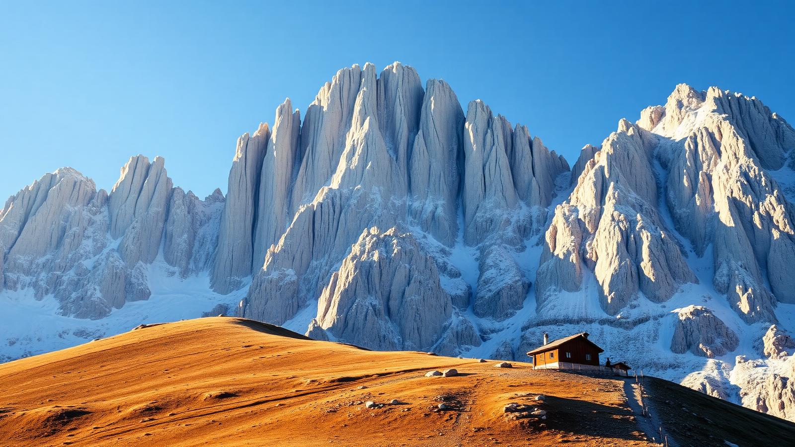
This is the one where I've turned back. Tofana di Rozes from Rifugio Dibona to the Giussani hut is a serious mountain day — long, high, and unforgiving of a late start — and it's also the walk that made me understand the scale of these mountains properly.
What you're taking on
The south wall of Tofana di Rozes is eight hundred metres of vertical limestone and you walk directly beneath it for a good part of the approach. That's the reason to come. The rifugio at Giussani sits at 2,580 metres in the notch between Rozes and Tofana di Mezzo, and getting there from the Dibona road is a real climb rather than a stroll with a view.
What's worth the detour off the standard approach
WWI tunnel remnants below the col
Fragments of Austro-Italian gallery works line the final approach to Giussani.
Rifugio Giussani terrace
A rare vantage where three of the four Tofane converge in one sightline.
Ferrata Giovanni Lipella
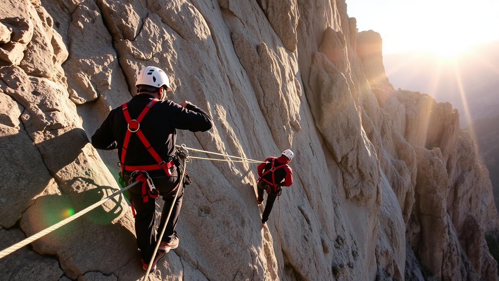
For guided parties only — the tunnel pitch to the Tofana di Rozes summit is unlit.
Forcella Bois d'Alverà
A quieter alternative col with views toward Cristallo, worth the extra 20 minutes.
The climb, plainly
Around 900 metres of ascent from Dibona, three hours up at a steady pace, two down if your knees are behaving. Add the descent time back to the car park honestly — the scree at the bottom of the day is where people get slow and careless.
Dibona to Giussani
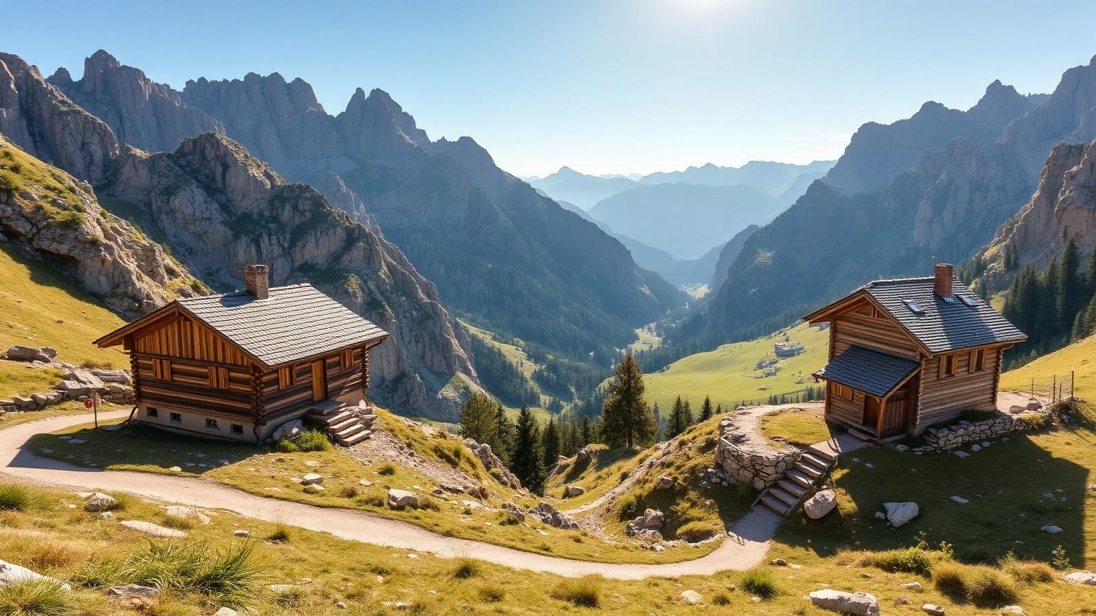
From Rifugio Dibona the path traverses west under the wall, gaining height gradually at first. There's a fork where the ferrata Giovanni Lipella branches off into the war tunnels; unless you're equipped for it, stay on the walking line.
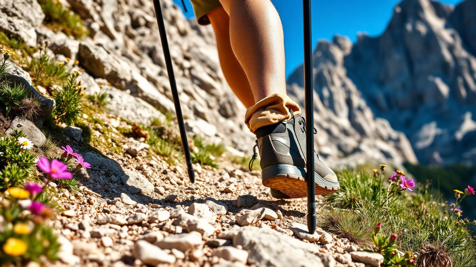
The upper section climbs scree and rubble in switchbacks to the Forcella Fontananegra, and that's where the wind usually finds you. Giussani is a few minutes beyond. From there the summit route continues, but that's another two hours and a different level of commitment.
Under the south wall
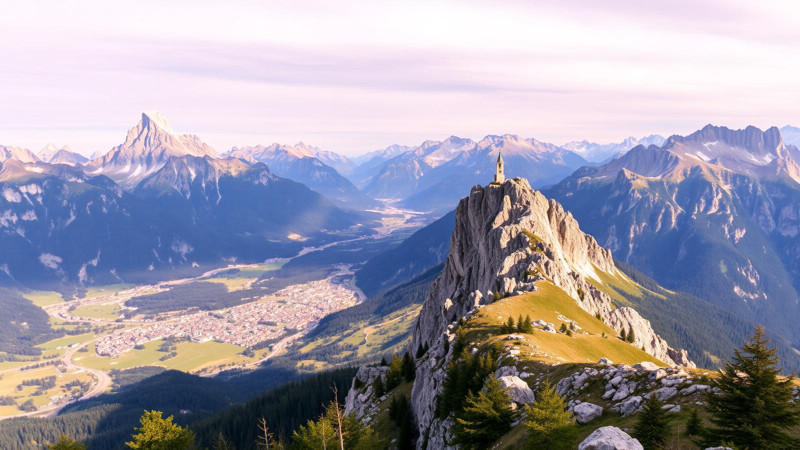
The best moment isn't the hut. It's about two thirds of the way up, where the path swings out and the whole south face is above you at once with the valley falling away behind. You can't photograph it properly. Stop anyway.
Altitude, snow and the storm clock
Above 2,400 metres the ground here holds snow well into early July, and old snow on scree is genuinely dangerous. The Giussani hut runs roughly late June to late September. Weather changes faster at this height than the valley forecast suggests — I've had sleet in mid-August at the forcella with 24°C in town.
There's no quick way off this mountain once you're on the upper switchbacks. If cloud is building on the Tofane by eleven, that's your signal to go down, not to push for the hut.
Safety note
Skip exposed ground if storms are forecast. Deciding not to continue is a normal part of walking here, not a failure.
The day I turned round
My first attempt, I started at ten, which was already too late, and by half past one there was thunder over Falzarego. I got to within maybe twenty minutes of Giussani and went down. Annoying at the time; obviously right in hindsight. Second attempt, off at six thirty, hut by half nine, soup, and back at the car before the storm even formed.
My tip
Extend the day with the short via ferrata Giovanni Lipella to the summit of Tofana di Rozes (3,225 m) — a full via ferrata kit and guide are non-negotiable, but the summit is one of the Dolomites' great high points.
Scale is the subject
The problem here is conveying size. Put a person in the frame — a walker on the switchbacks below the wall does more for scale than any focal length choice. The wall is south-facing, so it's lit hard all day and softest in the last hour.
Less committing versions
Walking as far as Rifugio Dibona itself and doing the easy loop under the lower wall gives you the atmosphere for a fraction of the effort. If you want height without the grind, take the Freccia nel Cielo up Tofana di Mezzo and walk the ridge paths from the top station instead.
Not a family walk above Dibona. Below it, the meadows and the wall views are perfectly good for an afternoon with children.
Do not treat a cable car as a guaranteed ride home. Note the final descent before setting off.
Parking at Dibona is a few euros and there's no lift involved — the cost of this day is entirely in your legs.
The trailhead is at Rifugio Angelo Dibona (2,083 m), reachable by a 6 km unpaved road from Pocol. Trail 403 climbs steadily to Rifugio Giussani (2,580 m) in about 2 hours.
A wall visible from every hotel window
Tofana di Rozes forms the backdrop most Cortina hotels advertise, and the hike to Giussani is the only way to walk directly into its shadow rather than merely admire it from the valley floor; the change in scale, once the wall is directly overhead, is the whole point of the outing.
Frequently asked questions
Is Rifugio Giussani a good overnight stop?
Yes if you plan to summit Tofana di Rozes at dawn or continue the traverse to Rifugio Cantore. 42 beds, book two months ahead for August.
Can I drive the road to Rifugio Dibona?
Yes but it is unpaved, single-lane in places, and closed to non-residents from 09:00 to 16:00 in July-August. Ride the free Dibona shuttle from Pocol instead in that window.
Do I need a guide for Tofana di Rozes summit?
For the Ferrata Lipella, yes unless you have led alpine terrain before. The tunnel section is unlit — a headtorch and full via ferrata kit are the minimum.
What is the exposure like on the approach?
Modest — a couple of cabled traverses in the last 30 minutes below Giussani, no true drops on the standard route to the rifugio.
Best time of year for Tofana di Rozes?
Mid-July to early September. Snow lingers on the north traverse into July and returns by late September; the ferrata is out of condition outside this window.
Start early, carry more water than feels necessary, and accept that turning round below the hut is a perfectly good day out. The wall doesn't get less impressive from halfway up.
Sources & further reading
Plan the next piece
Build a trip, not a checklist.
Pair this guide with a realistic itinerary and a place to stay near the activities you care about most.